Project details
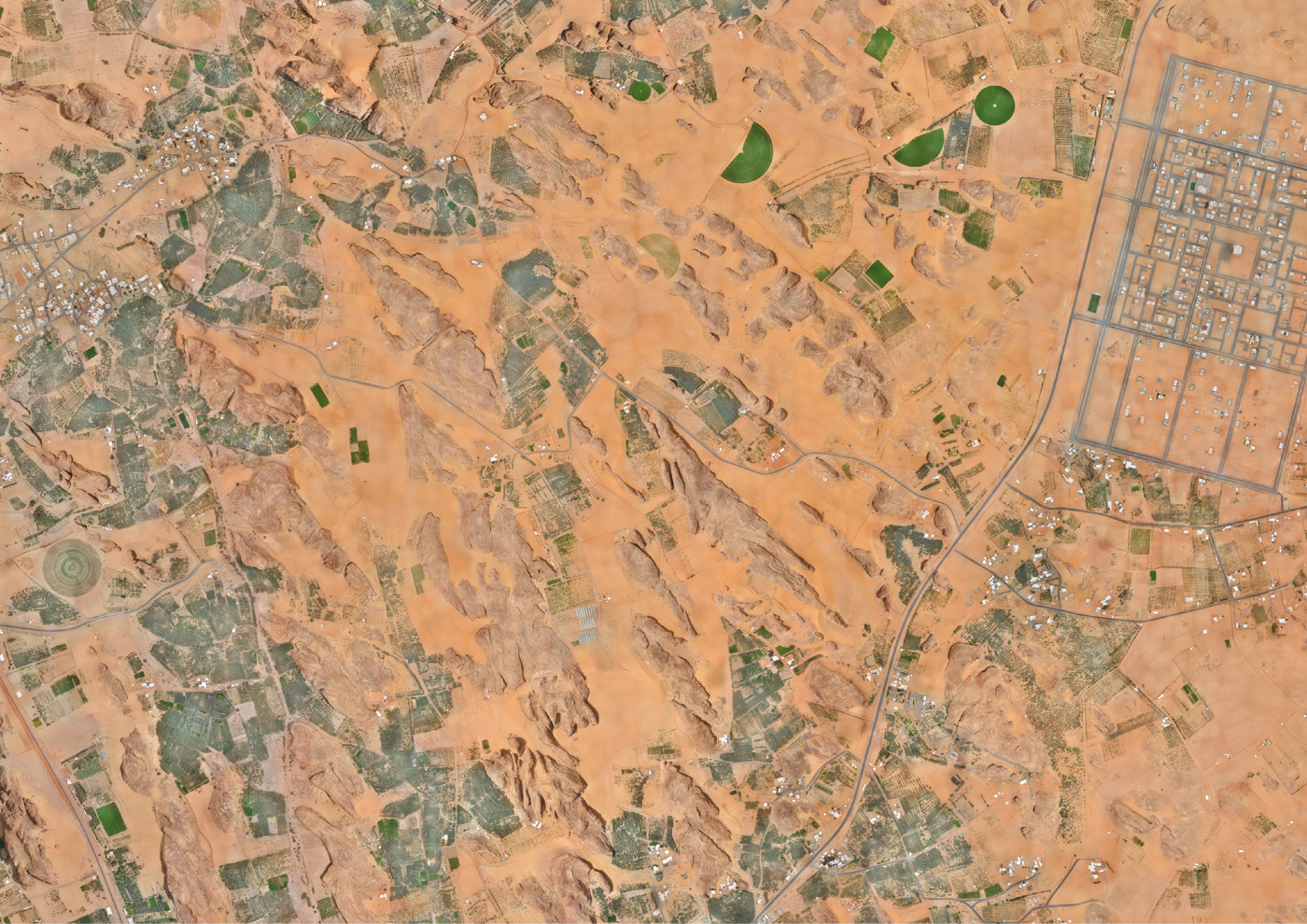
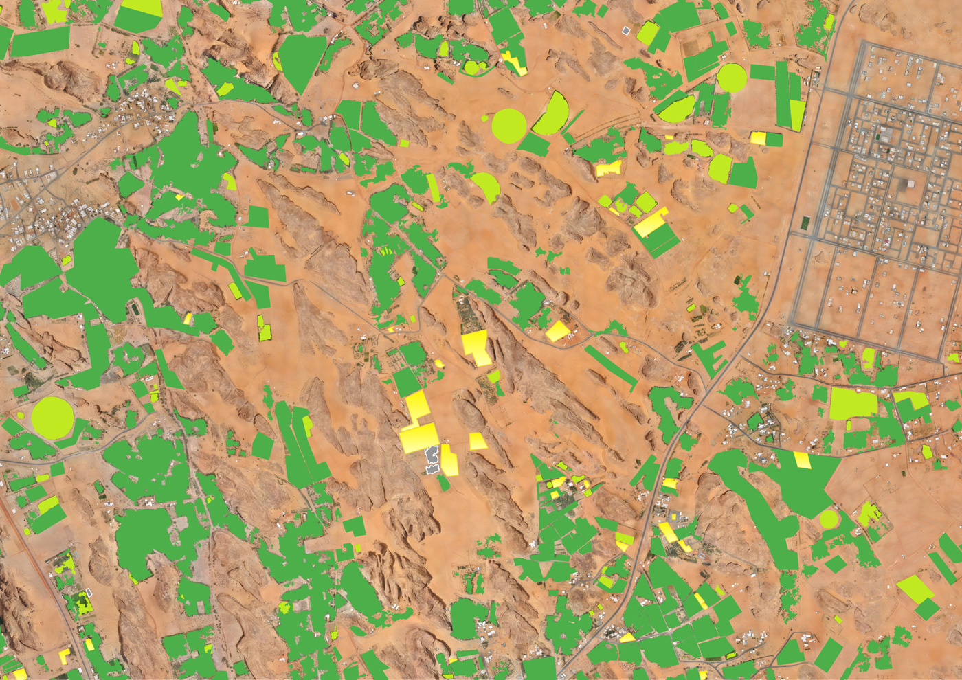
Within the framework of the ambitious cultural and touristic development project of the AlUla Region (KSA), Valorhiz has been mandated by the French Agency for the Development of AlUla (AFALULA) to map, characterize and quantify the cultivated areas of the whole AlUla County. By combining field missions and the innovative Cassia® approach, nearly 15,000 ha of crops and associated soils were mapped and characterized with a very high level of accuracy. This data is now used as a basis for building the County’s agricultural development strategy.
The example presented here illustrates the application of Cassia® technology for the detection of different soil types and crops in this region. This mission was carried out on behalf of the French Agency for the Development of AlUla ( AFALULA ) in partnership with the Royal Commission for AlUla (RCU).


