Artificial intelligence serving ecosystems
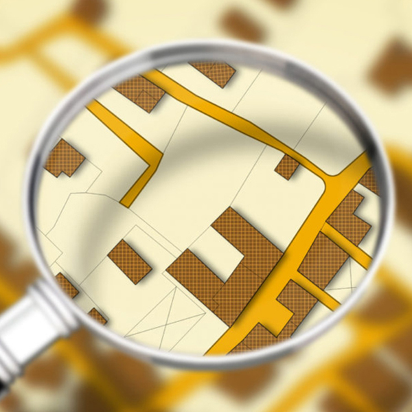
The innovative Cassia® technology allows to analyze georeferenced images (from drone, airplane or satellite acquisition) of vegetation and soil in order to map ecosystems. Based on a learning set defined by an expert, innovative algorithms will analyze the images to learn to automatically recognize the different entities of interest (habitat, plant community, species, plant group, soil type …).
To do this, hundreds of pieces of information are extracted from the data and cross-referenced with each other, similar to the way the human eye works. Once the learning process has been successfully completed, the algorithms will be able to apply this approach to very large scales. The maps produced are then validated by business experts and enriched with additional data in order to provide operational tools (dashboard, status report, risk assessment, etc.).


Cassia also allows you to monitor a project over several time periods


The Cassia® approach follows a standardized method that benefits from a high repeatability, providing reliable and comparable results between different years of observation. This method allows for precise temporal monitoring missions, such as multi-year monitoring and diachronic comparisons (appearance/disappearance of elements of interest, evolution of surfaces, effects of management actions, vegetation dynamics….).
PART DE SURFACE VÉGÉTALISÉE : 3%
PART DE SURFACE VÉGÉTALISÉE : 15%
PART DE SURFACE VÉGÉTALISÉE : 63%
Some numbers
Since 2018 …

0
ha
mapped
0
billion
pixels analyzed

0
million
plants detected
Origin
Cassia® is a proprietary technology of Valorhiz. The development of this innovation has benefited from co-funding from the European Regional Development Fund (FEDER, l’Europe s’engage en région Occitanie).